|
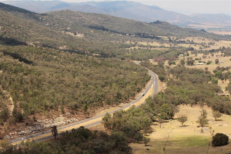
looking south from the Moonbi Range Lookout towards Tamworth The original route over the Moonbi Range generally followed the trail blazed in 1832 by Edward Gostwyck Cory. It formed part of the Great Northern Road from Wisemans Ferry to the Queensland border. The steep pull up the range tested teamsters who carried manufactured goods north to the New England district and primary produce south to market. It is still possible to see some of these sections including the remains of a wooden culvert, some pieces of stonework, a hand-packed retaining wall and two logs that presumably had been placed to mark the way and confine the traffic. Just north of the culvert is the steepest part of the pass. Here there are still some of the table drains built along both sides of the road. Constructed of squared basalt slabs, the drains are still fairly well preserved in their original positions, except for some places where scouring has undermined them. The drains continue up the pass for about 40 metres to where the road crosses a gully that is one of the sources of Moonbi Creek. There was no bridge across this gully, but filling stones had been placed in it. More info can be found at http://www.ozroads.com.au/NSW/RouteNumbering/National%20Routes/15/moonbi.htm |
||
 |
 |
 |
| four lane highway | western hills | cory’s pillar |
| back to IN OUR BACKYARD | ||